
About This Adventure
Hiking in Saxon Switzerland
This hike takes us through the beautiful forests and impressive rock formations of Saxon Switzerland, offering a perfect combination of nature, adventure, and breathtaking views.
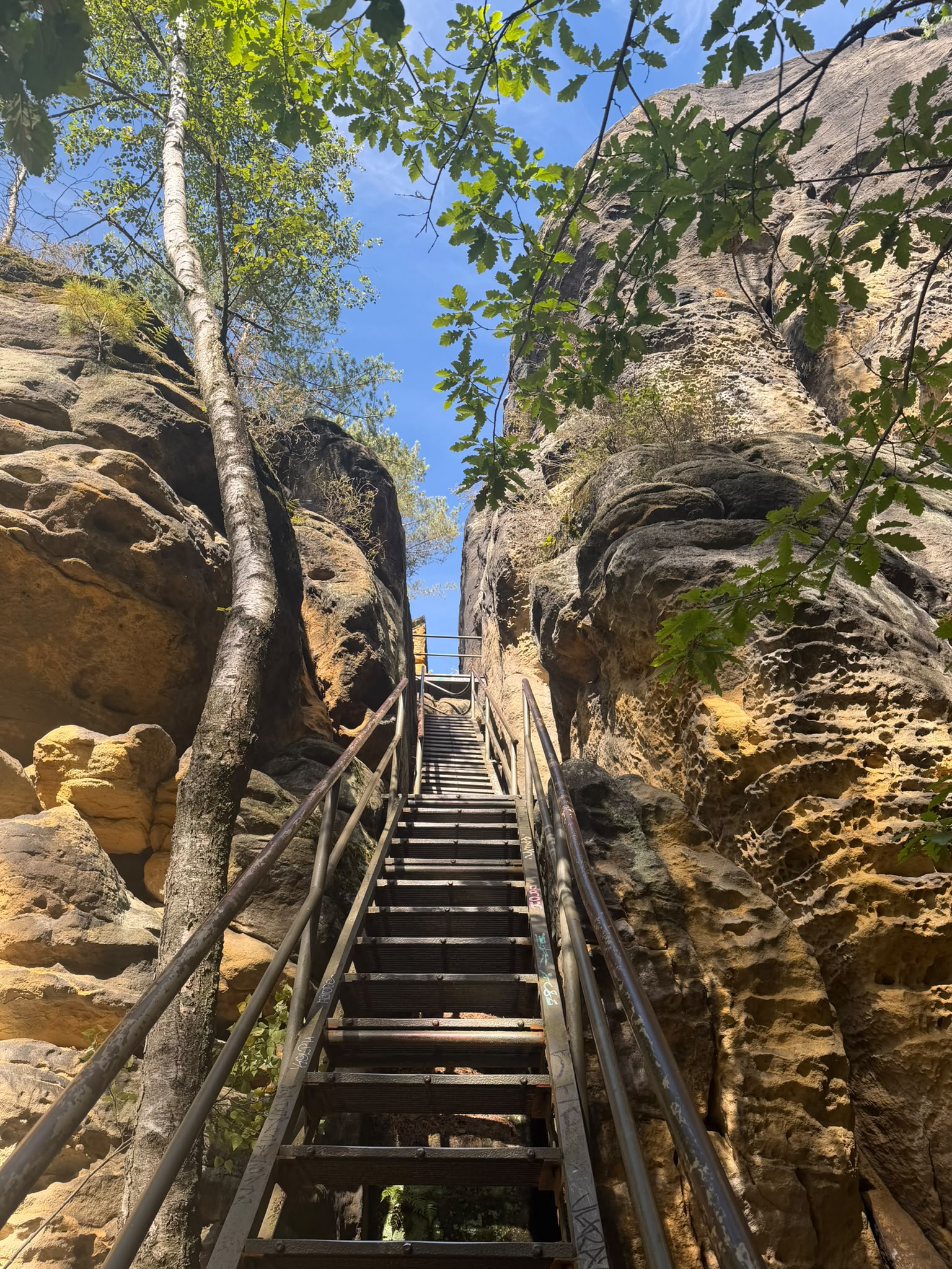
The route starts with a walk through the forest, where we’ll encounter several ladders to climb, especially at the beginning of the hike. As we make our way through the landscape, we’ll discover unique rock formations and enjoy the peaceful atmosphere of the surrounding nature.
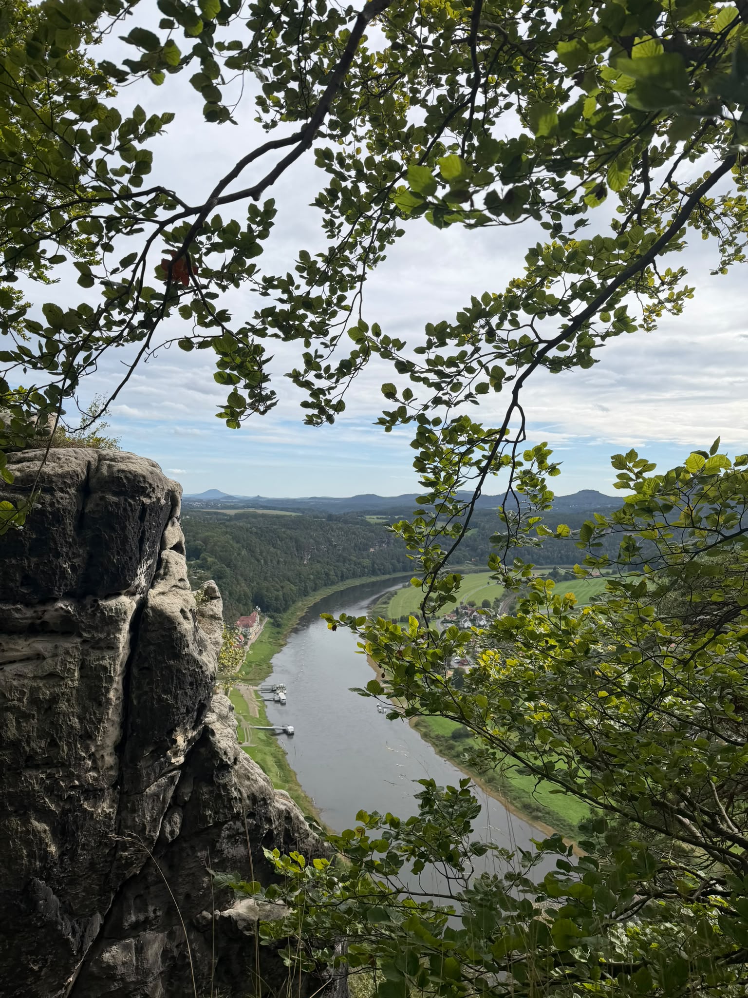
Along the way, we’ll take a ferry across the Elbe River (please bring cash for the ferry) to the other side, where the second part of our hike begins. We’ll continue exploring the area before reaching one of the highlights of the day: the famous Bastei Bridge. This is the perfect spot to admire the spectacular views over the sandstone mountains and capture some beautiful photos along the way.
After enjoying the scenery and taking a little time to explore, we’ll head back towards the Elbe and take the ferry across the river once again. From there, it’s just a short walk to the nearby train station, where we’ll catch our train back to Leipzig.
A beautiful day trip for anyone who enjoys hiking, exploring nature, climbing ladders, discovering impressive rock formations, and enjoying stunning views along the way.
Who is this for?
Regulars and beginners are welcome. We keep a companionable pace and nobody walks alone — a back marker always stays with the group.
Adventure Itinerary · 6 stops
- 8:45 — Meeting point in Leipzig HBF
We’ll meet in front of McDonald’s.
- 9:00 — Leipzig Hbf
The train departs at 9:00 AM.
- 11:33 — Kurort Rathen
We arrive in Kurort Rathen, the starting point of our hike.
- 12:30 — Break
After climbing the stairs and tackling a few ladders, we can enjoy a snack with a view.
- 14:30 — Break
We’ll have a 30-minute break at the Bastei Bridge. You can explore the viewpoints, grab a snack, or buy a souvenir.
- 16:24 — Kurtort Rathen
We’ll take the train back to Leipzig, arriving at 6:50 PM.
Route & Elevation
Distance 11.0 km · +179 m elevation · GPX track available.
Elevation profile
↗ — Total ascent↘ — Total descent
What to Bring
Good to Know
Easy ~3.5–4 km/h group pace with a back marker. Nobody is left behind.
Updates via group message and email 24h before if conditions change.
Capped at 15. Please cancel 36h ahead so waitlisted hikers can join.